One desert, many maps inside the Iraqi Badia


Shafaq News
The Iraqi Badia —the arid steppe that fringes the country's western and southern deserts— is one of the largest tracts of ground the state has to keep watch over, and one of the emptiest. It runs unbroken across three provinces, from Rutba in the far west of Al-Anbar, through the desert of Najaf, down to Nuqrat al-Salman in Al-Muthanna.
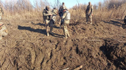
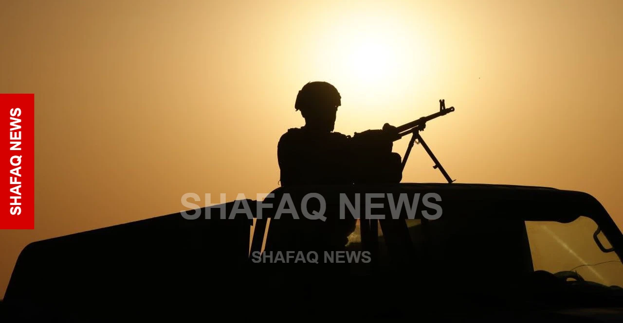
Paved roads are few, and the security posts that do exist sit far apart, separated by distances a patrol cannot close quickly. Holding it means covering land measured not in neighborhoods but in tens of thousands of square kilometers, with a thin line of troops, berms, trenches, and aircraft.
In Rutba, which spans roughly 90,000 square kilometers against the Syrian and Saudi borders, the district's qaimaqam, Imad al-Dulaimi, tells Shafaq News that the security picture has held steady for years, with raids and sweeps continuing and the frontier tightly monitored through the deployment of Border Guard forces and coordination among various security formations. Any activity detected, he adds, involves small groups of three or four people rather than organized movements.
Part of what makes that possible has less to do with troops than with people. Along the desert's edges, herders and residents move only through fixed points, where their names are logged and they are screened, and where, by al-Dulaimi's account, they double as “informal eyes” for the security agencies. It is a pattern that repeats east across the Badia: at Najaf's desert margins, nine crossings tie the sand to the city, and anyone entering to graze, farm, or travel has a file opened recording where they live and how they were vetted. In terrain where a fixed post cannot see past the next rise, the movement of civilians becomes its own form of surveillance.
Read more: Iraq’s western desert from ISIS hideouts to new security challenges
In Najaf, the line secured by state forces is marked by a trench and berm stretching about 155 kilometers, with fixed posts along its length, weekly patrols, and monthly inspection rounds, according to Hadi al-Khafaji, chief of staff of the Imam Ali Combat Division within the Popular Mobilization Forces (PMF). The desert basin behind it covers about 38,000 square kilometers, its eastern flank held by his forces and its western flank, along the Saudi border, by the Border Guard.
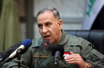
Farther south, in Al-Muthanna, the burden falls to the Badia Operations Command under Major General Imad al-Maliki, which —according to a security source, the anonymity routine for Iraqi military matters— fields three brigades to secure the Nuqrat al-Salman and Basiya deserts along with the al-Shabaka stretch belonging to Najaf, leaning on armed and reconnaissance aircraft to watch ground its units cannot permanently occupy.
Taken together, the official account is one of stability maintained by presence: hold the line, screen the crossings, patrol what you can, fly over the rest.
That is where the reassurance meets its limit. Speaking with Shafaq News, Khaldoun Hazem, an independent security analyst, does not dispute that the pieces are in place; he questions whether presence, by itself, amounts to control. “There is no such thing as absolute security,” he says, “and gaps are inevitable; smugglers and militants make a living finding them along borders and in open desert.”
The command in al-Muthanna he calls a genuine and overdue addition, filling a gap between existing operations in al-Jazira, al-Anbar, and Karbala. But the gap was real because the ground had gone under-watched for long stretches, he says, and serious infiltrations had happened there, including accounts that the area had previously been used to launch drones toward neighboring countries. In his view, establishing a command alone would not address what the area needs most: sustained intelligence and continuous surveillance rather than simply deploying more personnel to remote positions.
His prescription is drones over troops. Unmanned aircraft, he argues, track more ground, more precisely, and unsettle anyone trying to move through it simply by being overhead, work that ground units strain to do across distances this large and for periods this long. He wants squadrons attached to army aviation and put to more than military use: watching the borders, chasing smugglers, guarding the oil lines that cross the emptiness. As for the group most associated with the desert, he places it elsewhere, “not primarily in this stretch but in Wadi Hauran toward Tharthar,” a long desert valley whose ravines have long given fighters cover, terrain he calls vulnerable and under-resourced.
What Hazem is describing is a different way of holding the same ground, not a longer line or a bigger garrison, but eyes that stay up when the patrols go home, and intelligence that reaches a post before a threat does. Between the 90,000 square kilometers of Rutba, the 38,000 of the Najaf basin, the 155-kilometer berm, and a new command in the south, the Iraqi desert remains one expanse under many hands. The forces on it can say, accurately, that the line has held. Whether holding the line is the same as holding the desert is the part no one has settled.
Read more: ISIS regroups in Iraq, Syria, and Lebanon: a new strategy?
Written and edited by Shafaq News staff.