PM approves detailed maps for Halabja province


Shafaq News / Iraqi Deputy Prime Minister and Minister of Planning, Mohammed Tamim, approved on Sunday the detailed maps of the administrative borders, districts, sub-districts, and villages of Halabja province in their final form.
This comes as part of the measures taken to complete the procedures for establishing the 19th province in the Republic of Iraq.
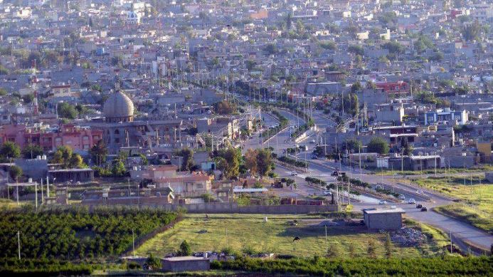
Halabja will officially become the fourth province in the Kurdistan Region after Erbil, al-Sulaymaniyah, and Dohuk, and the 19th province in Iraq, enjoying a special status among the Kurds due to the chemical bombardment it suffered during the reign of the previous regime.
According to a statement from the Ministry of Planning, "The minister's approval of the detailed maps came in light of completing the necessary technical procedures and the original approvals for establishing the province, based on the decision of the Parliament No. (31) of 2021, and the decision of the Council of Ministers No. (23131) taken in session (11) held on 13-3-2023."
The statement affirmed the adoption of "Halabja" province and its urban center, the city of "Halabja," being assigned the number (16) in the Guide to Administrative Units of the Republic of Iraq. It added that the newly established province includes one district and four sub-districts, namely Sirwan, Khurmal, Bayara, and Bamu.
The statement also pointed out that "the Regional and Local Development Department at the Ministry of Planning, under the directives of Deputy Prime Minister Mohammed Tamim, reviewed and verified the maps and drawings, determined the jurisdiction of the provinces and administrative borders, and the basic designs before and after expansion, and resolved all the boundary overlaps resulting from the expansion of city designs outside the administrative units."
It further revealed that "the planning team at the ministry worked for several months on studying the establishment file and evaluating the technical feasibility studies according to their spatial, urban, and rural dimensions, in line with the planning standards for establishing provinces.
They prepared preliminary and detailed plans and maps of the administrative borders of the Halabja district and its sub-districts, determined the districts, urban centers, basic designs of cities, municipal boundaries, and maintained continuous coordination with the relevant authorities in al-Sulaymaniyah Governorate regarding the matter."